Teaching Resources
Teachers, homeschoolers, and parents have used JigsawGeo for years to make continents, capitals, and flags stick. Every map in the app has a free printable pack below — no login, no account, no catch.
What's in Every Printable Pack
Each PDF bundles a full set of activities for one map, spanning grades 2-8, so you can pull exactly the page a lesson needs instead of hunting for a whole new resource: locate-and-label pages for younger grades, latitude/longitude and heat-map activities for upper elementary and middle school, and word puzzles for a quieter independent-work day. Print only the pages you need, or hand out the whole packet as a unit.
-
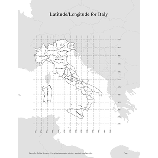
Latitude/longitude maps (6-8): a common specific reading-coordinates objective
-
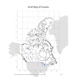
Grid maps (2-5): find a place by its grid square
-
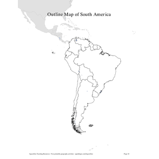
Blank maps (all grades): label it or color it in
-
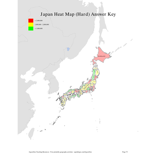
Heat maps (3-8): shade a choropleth from real data
-
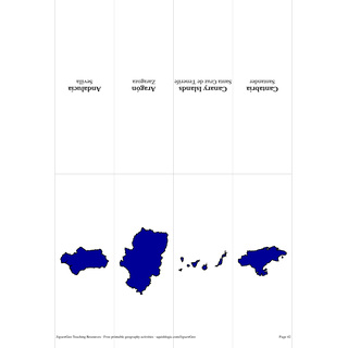
Flashcards (2-6): cut-out cards for quick drills
-
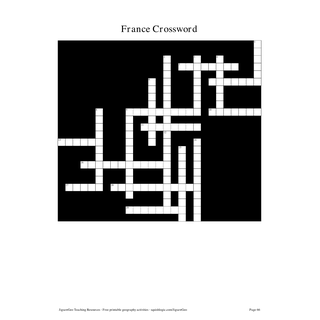
Word puzzles (3-8): crosswords, scrambles, and more
Every pack also includes an answer key or labeled version of its map, so these work equally well as a self-check for independent work or a quick sub-day activity.
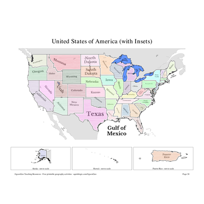
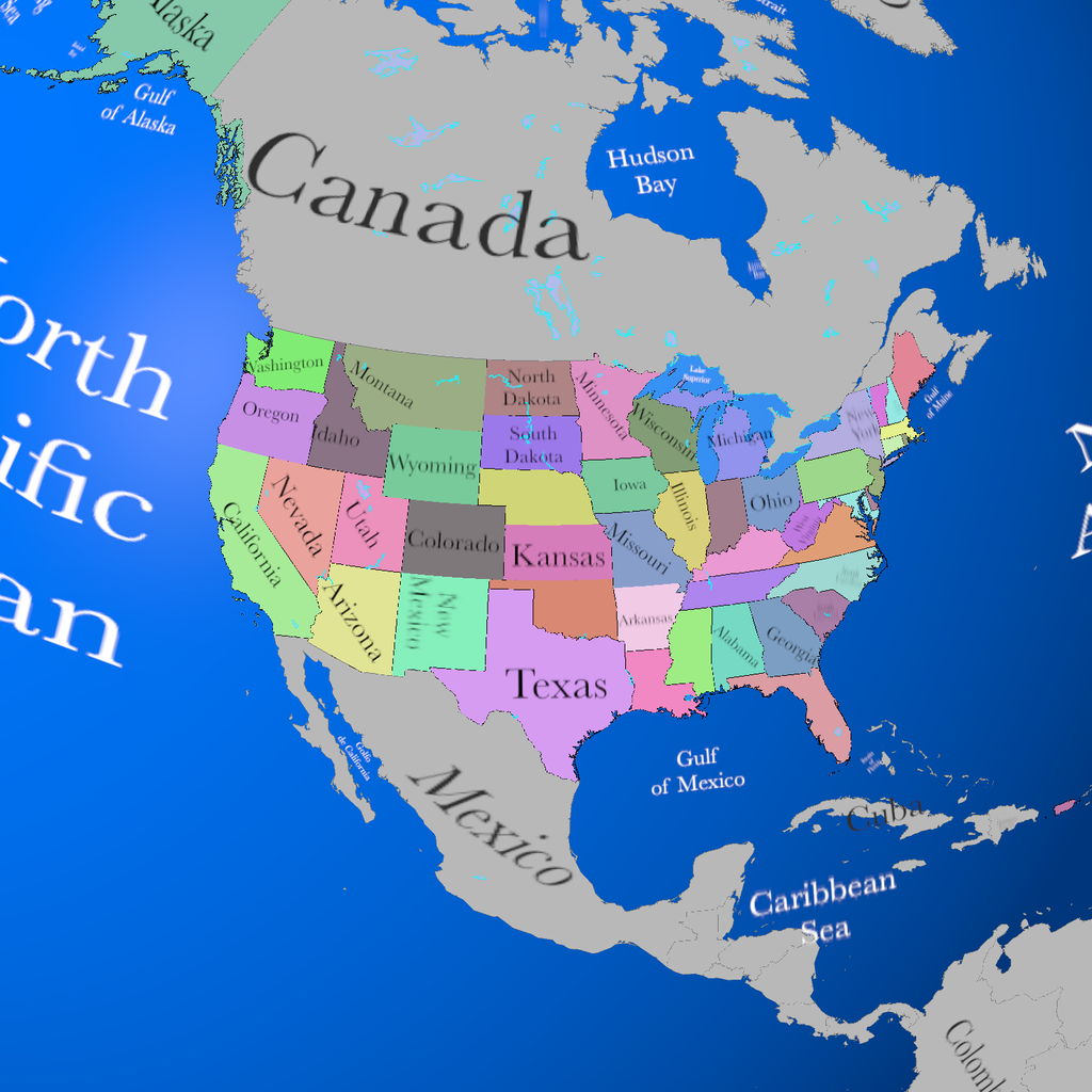
United States
Individual Countries
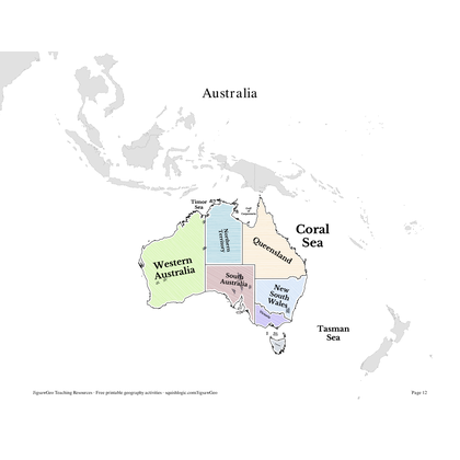 Australia Printable Resources (PDF)
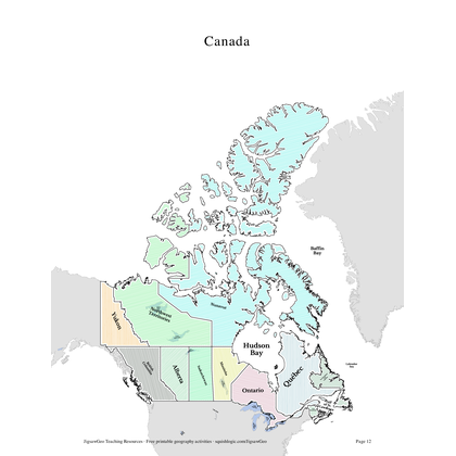 Canada Printable Resources (PDF)
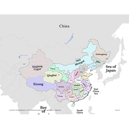 China Printable Resources (PDF)
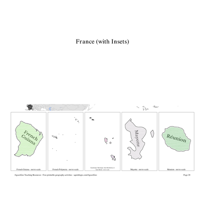 France Printable Resources (PDF)
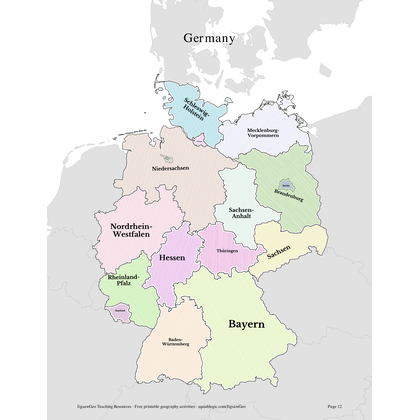 Germany Printable Resources (PDF)
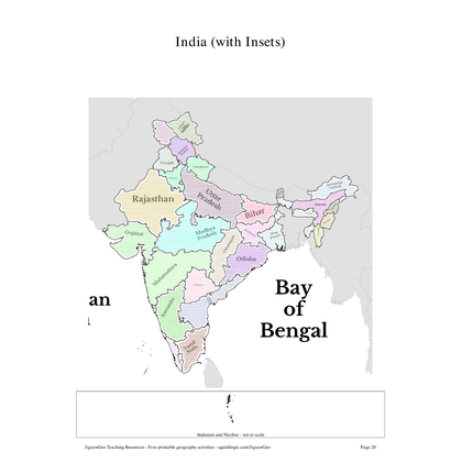 India Printable Resources (PDF)
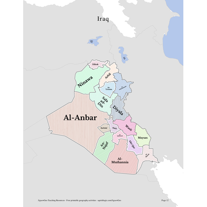 Iraq Printable Resources (PDF)
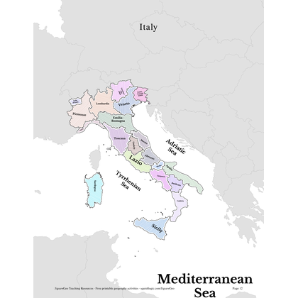 Italy Printable Resources (PDF)
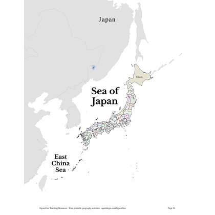 Japan Printable Resources (PDF)
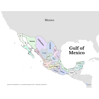 Mexico Printable Resources (PDF)
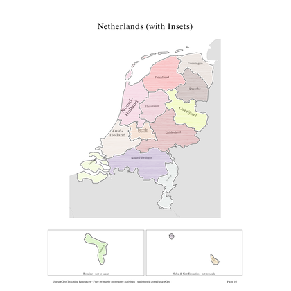 Netherlands Printable Resources (PDF)
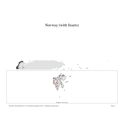 Norway Printable Resources (PDF)
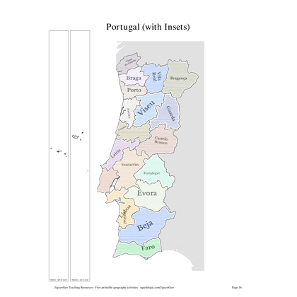 Portugal Printable Resources (PDF)
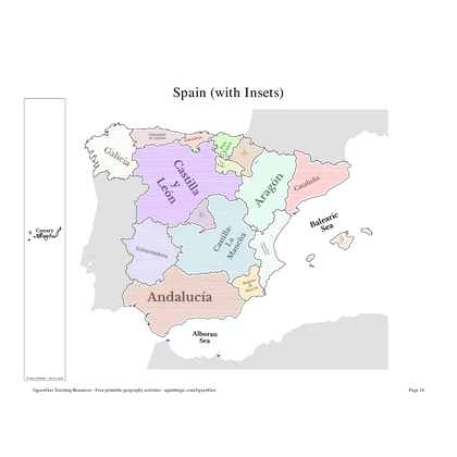 Spain Printable Resources (PDF)
Continents & Regions
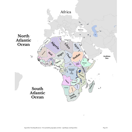 Africa Printable Resources (PDF)
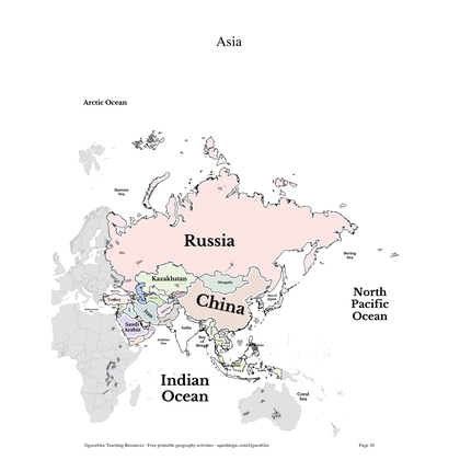 Asia Printable Resources (PDF)
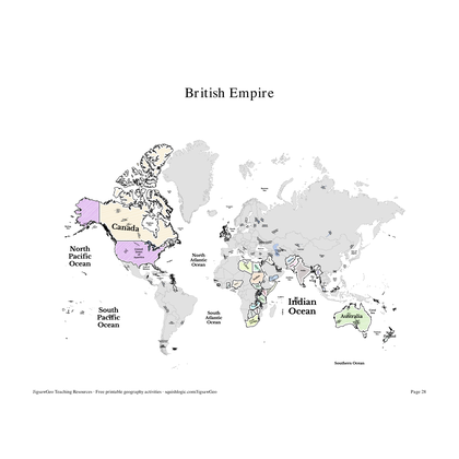 British Empire Printable Resources (PDF)
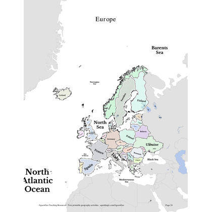 Europe Printable Resources (PDF)
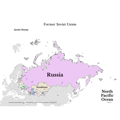 Former Soviet Union Printable Resources (PDF)
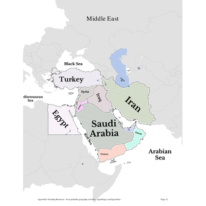 Middle East Printable Resources (PDF)
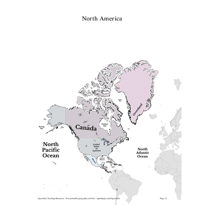 North America Printable Resources (PDF)
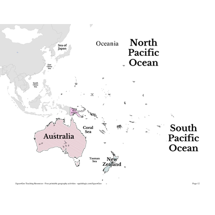 Oceania Printable Resources (PDF)
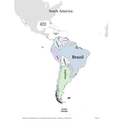 South America Printable Resources (PDF)
Oceans & Seas
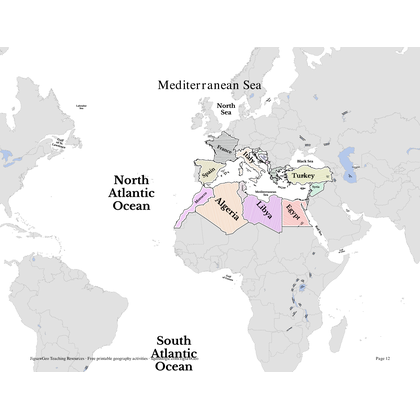
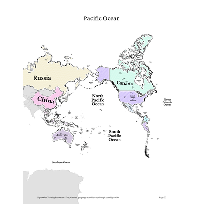
Naming and locating the oceans is part of most early-elementary geography standards, and the major seas come up again in later units on trade, exploration, and world regions — these packs work well alongside the continent maps above.
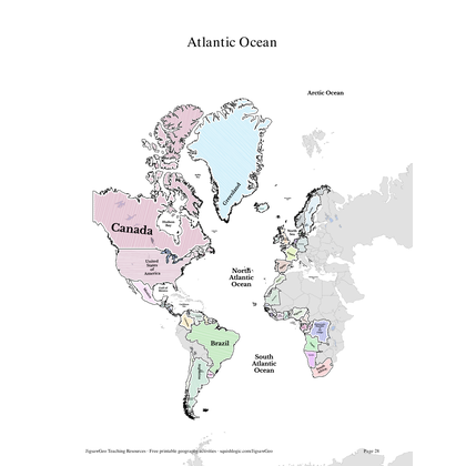
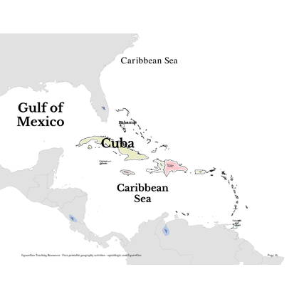
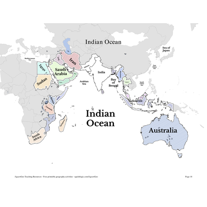
Flat Map Projections
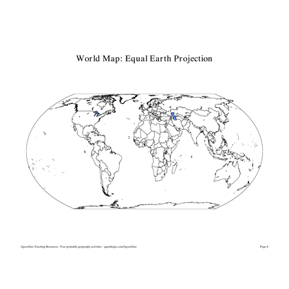
Compare and Contrast the traditional Mercator projection (which exaggerates the size of regions near the poles) with the Equal Earth projection recently adopted by the United Nations.
Time Zones
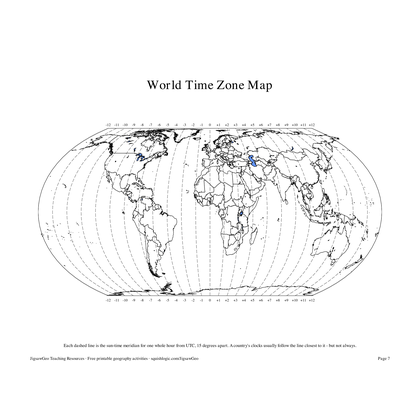
(Grades 3-8) Six countries whose clocks are not set to a whole hour, China's single nationwide clock despite spanning five natural time zones, and the USA's six real time zones, explained with maps, worksheets, and a printable paper time zone wheel your student builds and spins by hand.