Press Kit
Everything a reviewer or blogger needs for a story on JigsawGeo: the fact sheet, screenshots, and app icon, ready to use. Questions we haven't answered here? Reach out below.

Fact Sheet
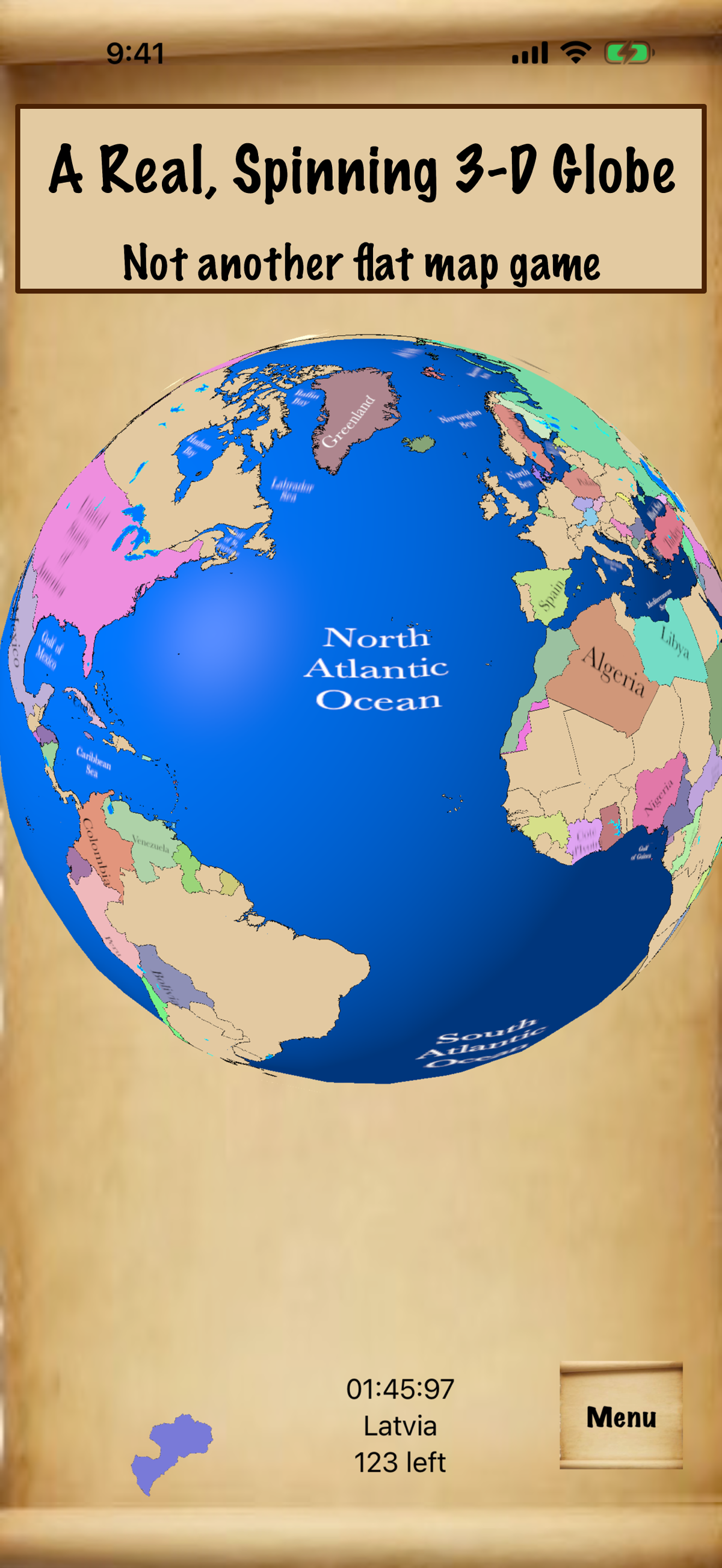
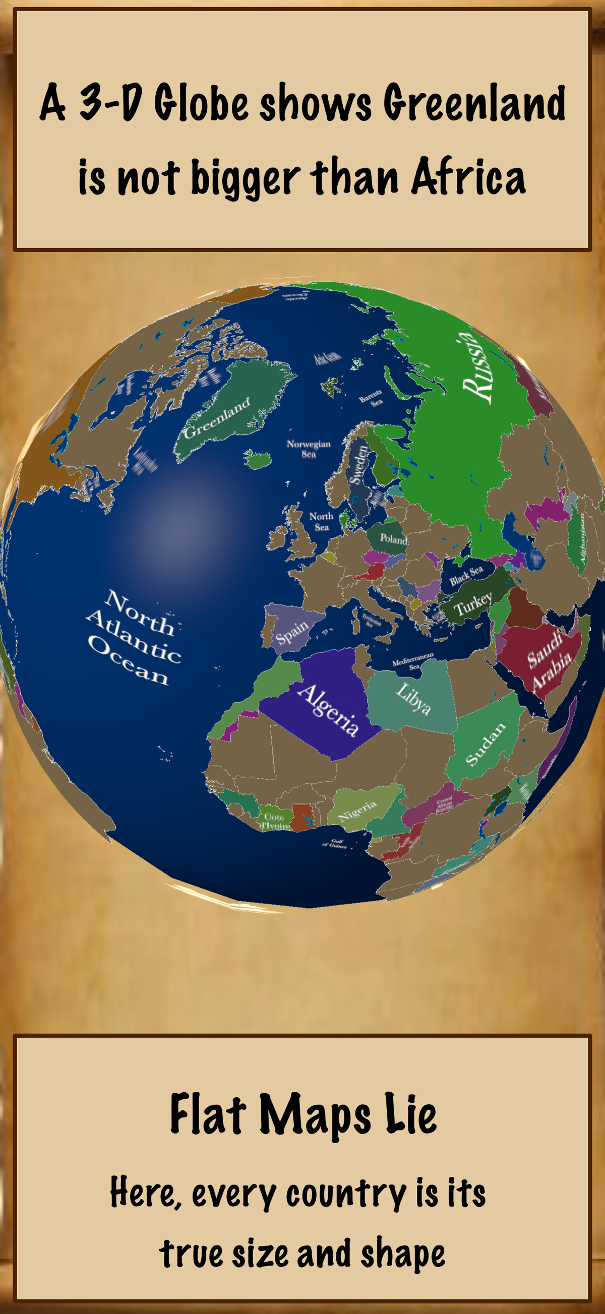
JigsawGeo is a geography puzzle game for iPhone and iPad. It plays on a real, spinnable 3-D globe, so countries appear at their true size and true shape instead of the stretched, distorted view a flat Mercator map gives them. Version 3.2 adds a passport that fills with a stamp for every place a player finds, a Terrain globe style with shaded relief, and 16 missions that are all unlocked from the start.
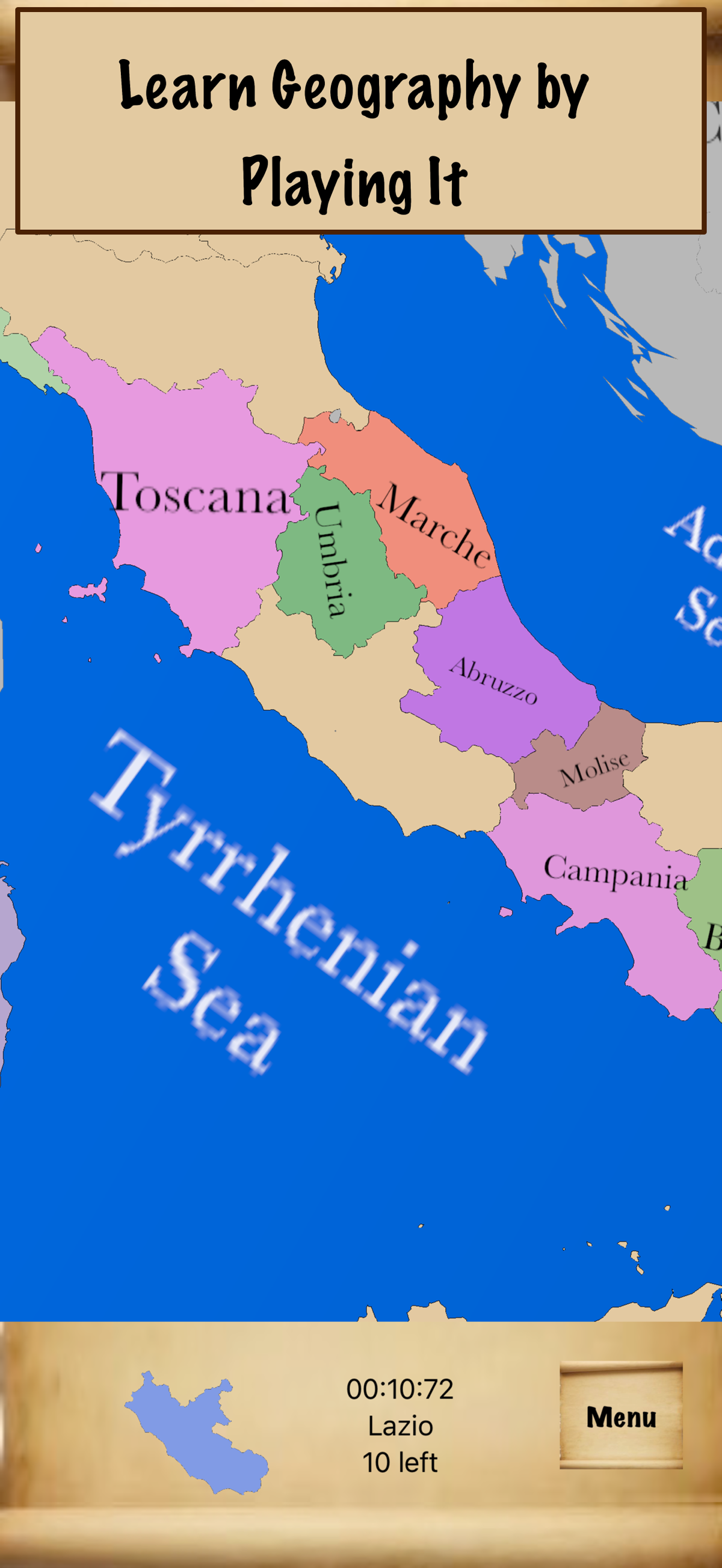
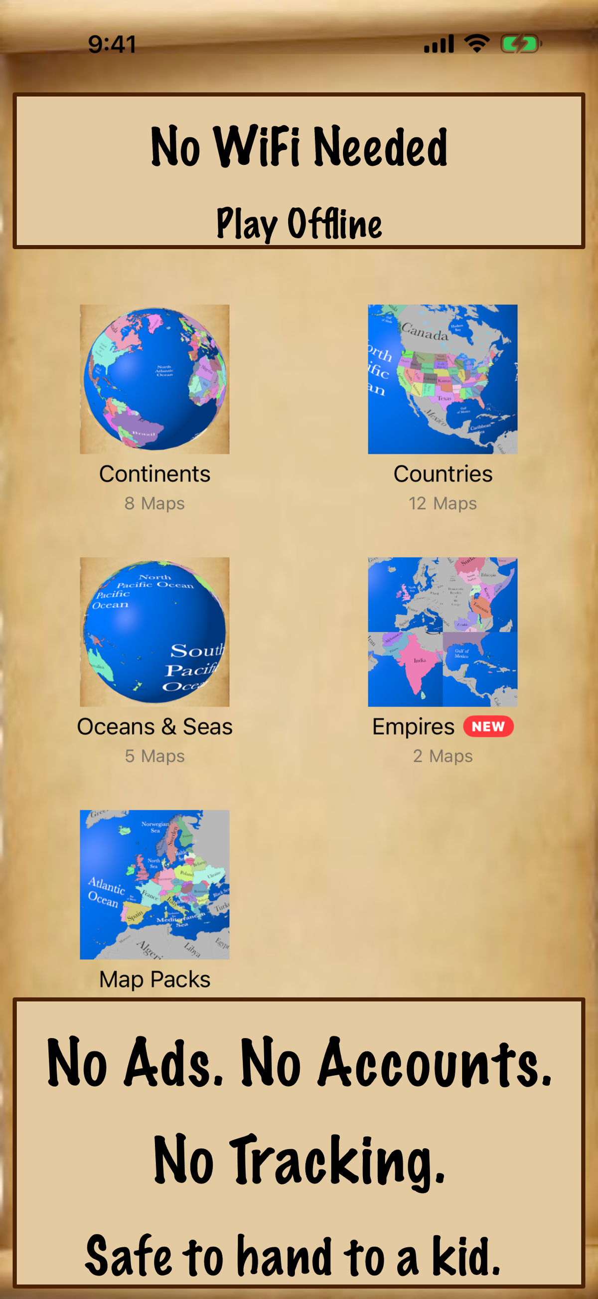
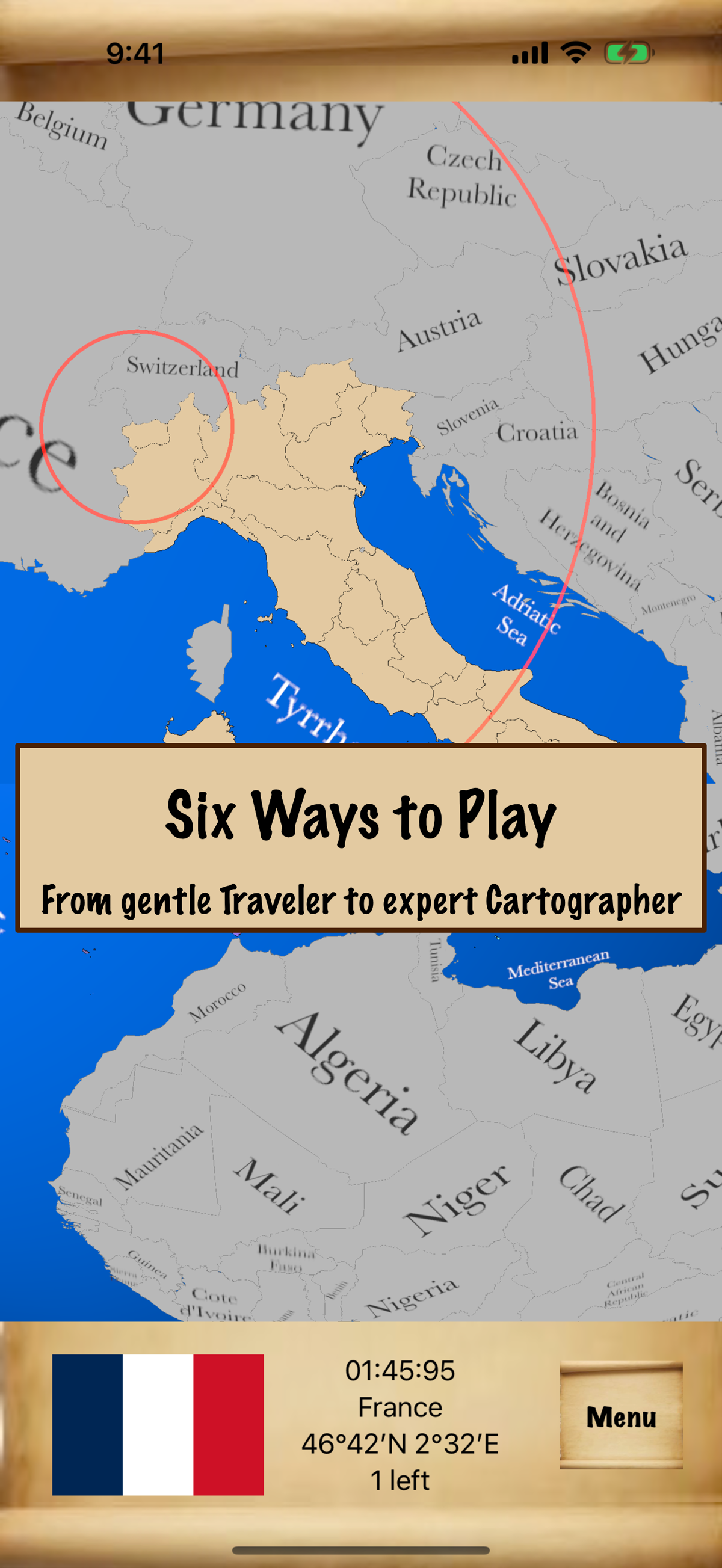
Players drag puzzle pieces into place, or double-tap to solve, across a table of 16 missions (choose what to find and how much help you get, from a gentle guided start to pinpointing a capital city by its coordinates alone, or pick a name, flag or capital from four choices) and more than 25 maps, from single countries and US states to entire continents and the whole world.
The passport has fun facts for every stamp, themed pages, a travel journal and an avatar players build themselves. It can be printed as a little booklet to cut out, staple and color in, using AirPrint on US Letter paper. Fun facts stay in the app.
No ads, no accounts, no tracking. Free to download with two complete maps included; every other map is a one-time purchase, never a subscription. Plays in 8 languages and works fully offline.
JigsawGeo is developed by Steven H. VanderLeest at squishLogic, an independent studio. First released in 2012; version 3.0 shipped August 2026 and version 3.2 in October 2026.
Quick Facts
- Developer: Steven H. VanderLeest / squishLogic
- Platform: iPhone, iPad
- Price: Free, with in-app purchases (one-time, no subscriptions)
- Category: Education, Games
- Languages: English, Spanish, French, German, Portuguese, Japanese, Korean, Chinese
- First released: 2012
- Current version: 3.2 (October 2026)
Screenshots
Official App Store screenshots, right-click or long-press to save.
Contact
Questions, interview requests, or need something not on this page? Email us: support@squishlogic.com