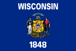
Wisconsin
Nicknamed "America's Dairyland," it produces more cheese than any other U.S. state.

Geography Standards
Wisconsin Department of Public Instruction — Wisconsin Standards for Social Studies publishes the official standards; JigsawGeo's map games and printable materials line up well with the geography skills below. See the official standards for exact current wording and numbering.
- Grades K-2: Building a simple map of a familiar place using a title, compass rose, and symbols.
- Grades 3-5: Creating and labeling maps of their community, state, and country, and identifying regions within Wisconsin and the United States.
- Grades 6-8: Interpreting patterns across different types of maps and graphs to compare geographic information.
In the Classroom
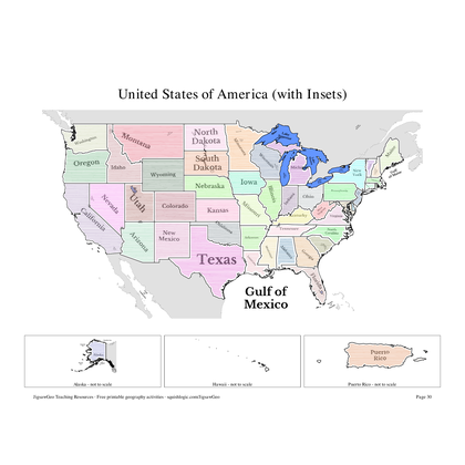
- Play the United States map in JigsawGeo as a warm-up or center activity. The Explorer mission asks students to place each state by name, Navigator by capital.
- Print the resources below for a quick state-and-capital drill or a labeling quiz.
- JigsawGeo has no ads, accounts, or tracking, so it's safe to hand directly to students.