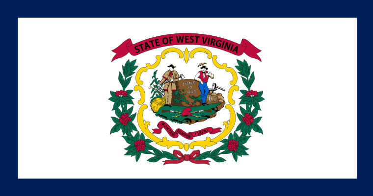
West Virginia
The only U.S. state formed by counties breaking away from another state during the Civil War, and entirely within the Appalachian Mountains.

Geography Standards
West Virginia Department of Education: Content Standards and Policies (Social Studies) publishes the official standards; JigsawGeo's map games and printable materials line up well with the geography skills below. See the official standards for exact current wording and numbering.
- Grade 1: Reading simple maps using cardinal directions, map symbols, and a legend, and locating West Virginia and its geographic features on a map.
- Grade 2: Using a legend, compass rose, and cardinal directions to locate cities, states, and major geographic features across the United States.
- Grade 3: Distinguishing between a continent, country, state, and capital, and labeling maps with cardinal directions, borders, continents, and oceans.
In the Classroom
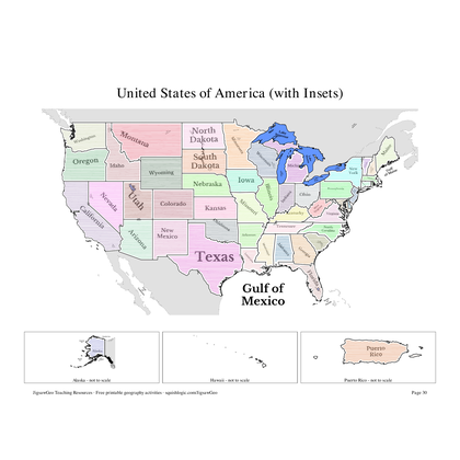
- Play the United States map in JigsawGeo as a warm-up or center activity. The Explorer mission asks students to place each state by name, Navigator by capital.
- Print the resources below for a quick state-and-capital drill or a labeling quiz.
- JigsawGeo has no ads, accounts, or tracking, so it's safe to hand directly to students.