Texas
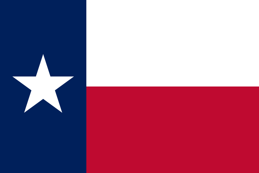
The second-largest state by both size and population — bigger than most countries.

Geography Standards
Texas Education Agency — Texas Essential Knowledge and Skills publishes the official standards; JigsawGeo's map games and printable materials line up well with the geography skills below. See the official standards for exact current wording and numbering.
- Grade 2: Locating the community, Texas, the United States, and selected countries on maps and globes.
- Grade 3: Using cardinal and intermediate directions to locate places such as the Amazon River, the Himalayas, and Washington, D.C.
- Grade 8: Creating thematic maps, graphs, and charts of the United States and comparing regions by their characteristics.
In the Classroom
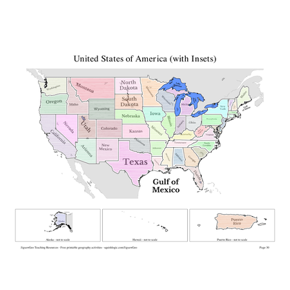
- Play the United States map in JigsawGeo as a warm-up or center activity. The Explorer mission asks students to place each state by name, Navigator by capital.
- Print the resources below for a quick state-and-capital drill or a labeling quiz.
- JigsawGeo has no ads, accounts, or tracking, so it's safe to hand directly to students.