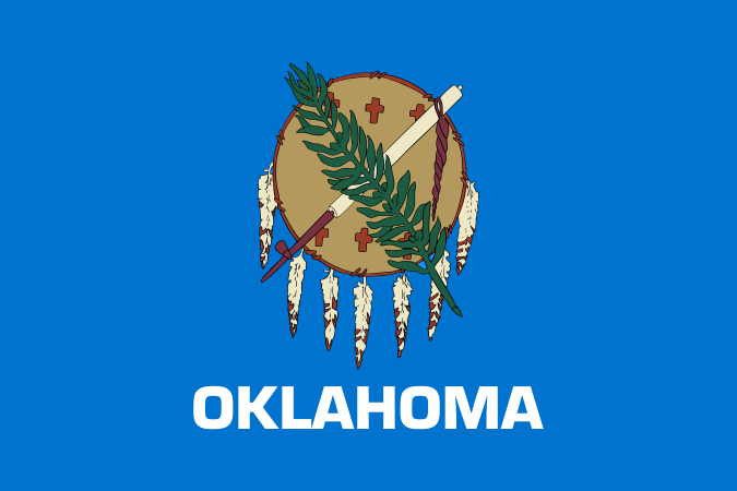
Oklahoma
Home to more federally recognized Native American tribal nations headquartered within its borders than any other state.

Geography Standards
Oklahoma State Department of Education — Oklahoma Academic Standards for Social Studies publishes the official standards; JigsawGeo's map games and printable materials line up well with the geography skills below. See the official standards for exact current wording and numbering.
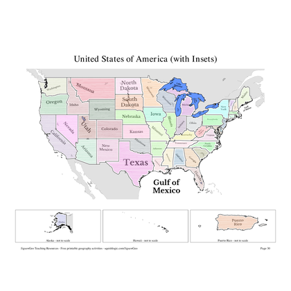
- Kindergarten: Identifying the state of Oklahoma on a map of the United States and using basic cardinal directions to describe location.
- Grade 1: Identifying cardinal directions on a map and globe and using them to locate the national capital in Washington, D.C., and the Oklahoma state capital in Oklahoma City.
- Grade 4: Using maps, latitude and longitude, and the Five Themes of Geography to identify all fifty states, the nation's capital, and major regions and cities across the United States.
In the Classroom
- Play the United States map in JigsawGeo as a warm-up or center activity. The Explorer mission asks students to place each state by name, Navigator by capital.
- Print the resources below for a quick state-and-capital drill or a labeling quiz.
- JigsawGeo has no ads, accounts, or tracking, so it's safe to hand directly to students.