Ohio
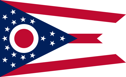
Birthplace of eight U.S. presidents and the Wright brothers, pioneers of flight.

Geography Standards
Ohio Department of Education and Workforce — Social Studies Standards publishes the official standards; JigsawGeo's map games and printable materials line up well with the geography skills below. See the official standards for exact current wording and numbering.
- Grade 2: Interpreting map symbols to answer questions about the location of places.
- Grade 4: Using scale and direction to locate Ohio and United States features, and connecting Ohio's economy to the wider country.
- Grade 5: Using geographic tools, including latitude and longitude, to study the Western Hemisphere.
In the Classroom
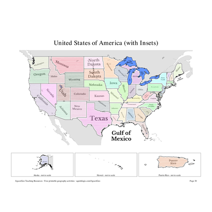
- Play the United States map in JigsawGeo as a warm-up or center activity. The Explorer mission asks students to place each state by name, Navigator by capital.
- Print the resources below for a quick state-and-capital drill or a labeling quiz.
- JigsawGeo has no ads, accounts, or tracking, so it's safe to hand directly to students.