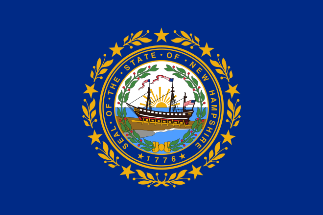
New Hampshire
New Hampshire holds the nation's first presidential primary election every four years and is home to the White Mountains, including Mount Washington's famously extreme weather.

Geography Standards
New Hampshire Department of Education — K-12 Social Studies Curriculum Framework publishes the official standards; JigsawGeo's map games and printable materials line up well with the geography skills below. See the official standards for exact current wording and numbering.
- Grades K-2: Identifying the purposes of globes and maps and locating major physical and human features of the United States, such as cities, oceans, and continents.
- Grades 3-4: Locating major physical and human features in the United States, from mountain ranges to lines of latitude and longitude.
- Grades 5-6: Applying spatial concepts such as location, direction, and scale to describe where places are in relation to one another.
In the Classroom
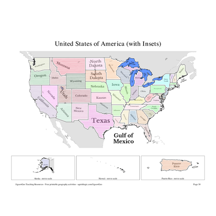
- Play the United States map in JigsawGeo as a warm-up or center activity. The Explorer mission asks students to place each state by name, Navigator by capital.
- Print the resources below for a quick state-and-capital drill or a labeling quiz.
- JigsawGeo has no ads, accounts, or tracking, so it's safe to hand directly to students.