Arizona
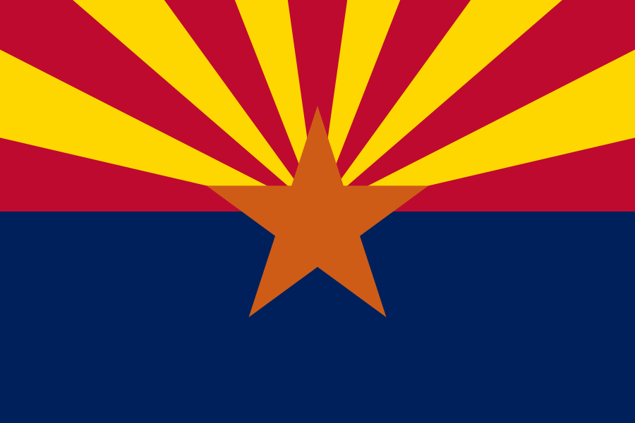
Home to the Grand Canyon, carved over millions of years by the Colorado River.

Geography Standards
Arizona Department of Education — History and Social Science Standards publishes the official standards; JigsawGeo's map games and printable materials line up well with the geography skills below. See the official standards for exact current wording and numbering.
- Grade 3: Using and constructing maps of Arizona to locate the state capital, major cities, and physical features, and comparing Arizona's regions using geographic tools.
- Grade 4: Using and constructing maps to trace regions and settlement patterns across the Americas, including locating major cities and countries.
In the Classroom
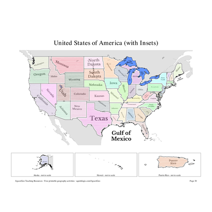
- Play the United States map in JigsawGeo as a warm-up or center activity. The Explorer mission asks students to place each state by name, Navigator by capital.
- Print the resources below for a quick state-and-capital drill or a labeling quiz.
- JigsawGeo has no ads, accounts, or tracking, so it's safe to hand directly to students.